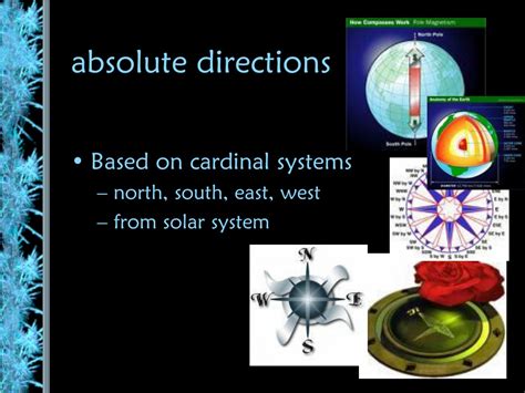
Absolute Direction

In AP Human Geography, absolute direction refers to the precise location of a place on the Earth’s surface, expressed using a consistent coordinate system. This system is based on the globe’s latitudes and longitudes.
Latitudes
Latitudes are imaginary lines that run parallel to the equator, the imaginary line that divides the Earth into the Northern and Southern Hemispheres. Latitudes are numbered from 0° at the equator to 90° North at the North Pole and 90° South at the South Pole.
Longitudes
Longitudes are imaginary lines that run perpendicular to latitudes, connecting the North and South Poles. Longitudes are numbered from 0° at the Prime Meridian (which passes through Greenwich, England) to 180° East and 180° West.
Coordinate System
The intersection of a latitude and longitude forms a unique coordinate, which can be used to pinpoint a location on the Earth’s surface. Coordinates are expressed as a pair of numbers, with the latitude listed first followed by the longitude. For example, the coordinates for the Empire State Building are 40.7484° N, 73.9856° W.
Significance of Absolute Direction
Absolute direction is essential for:
- Navigation: Determining the precise location of oneself or a destination
- Mapping: Accurately representing locations on maps and globes
- Geographic analysis: Comparing locations and analyzing spatial patterns
Absolute direction plays a vital role in various fields:
Navigation
- GPS devices use absolute coordinates to provide real-time navigation instructions
- Maritime navigation relies on maps and charts that provide precise latitude and longitude information
- Aviation uses coordinates to guide aircraft along designated flight paths
Mapping
- Geographic Information Systems (GIS) use absolute coordinates to create accurate digital maps
- Cartographers use coordinates to ensure the precision of maps and atlases
Geographic Analysis
- Geospatial analysts use coordinates to perform spatial analysis, such as measuring distances, calculating areas, and identifying spatial patterns
Accuracy Challenges: Determining precise coordinates can be challenging in remote or mountainous areas, as GPS signals can be weak or obstructed.
Data Manipulation: Manipulating and processing large datasets of coordinate data can be computationally intensive and require specialized software.
Improved Accessibility: Absolute direction enables easy navigation and access to remote locations.
Enhanced Precision: Precise coordinates allow for accurate measurements and analysis, leading to better decision-making.
Improved Technology: Advances in GPS technology and the development of alternative positioning systems can enhance accuracy in challenging environments.
Data Optimization: Techniques such as data compression and simplified data structures can reduce the computational burden associated with large datasets.
-
How can I find the coordinates of a location?
– Use a GPS device
– Use online mapping services (e.g., Google Maps)
– Refer to maps and atlases that provide coordinate information -
What is the difference between absolute and relative direction?
– Absolute direction is precise and fixed, based on the Earth’s coordinate system.
– Relative direction refers to the direction of one place relative to another, using terms like north, south, east, and west. -
How accurate is absolute direction?
– The accuracy of absolute direction depends on the precision of the measurement method. GPS devices can provide coordinates with millimeter-level accuracy under ideal conditions. -
How are absolute coordinates used in geographic analysis?
– Coordinates allow analysts to measure distances, calculate areas, and identify spatial patterns and correlations between different geographic features. -
What are the advantages of using absolute direction?
– Precision and consistency in locating places
– Facilitates navigation and mapping
– Enables spatial analysis and modeling -
What are the limitations of absolute direction?
– Accuracy challenges in certain areas
– Data manipulation can be computationally intensive
– Requires a consistent coordinate system
Absolute direction is a fundamental concept in AP Human Geography. It provides a precise and universal method for locating places on the Earth’s surface, facilitating navigation, mapping, and geographic analysis. Understanding the principles of absolute direction enables individuals to interact effectively with the world around them.
